A summer like no other: inside 2023’s record-smashing North Atlantic marine heatwave
In 2023, a basin-wide marine heatwave swept across the North Atlantic Ocean. Now, scientists have revealed what drove this unprecedented event.


In a UNSW-led Nature study published today, researchers say that an off-the-scale marine heatwave in the North Atlantic Ocean in 2023 was caused by record-breaking weak winds combined with increased solar radiation – all on the back of ongoing climate change.
From Greenland to the Sahara and across to the Americas, the waters of the North Atlantic Ocean warmed at an unprecedented speed in the summer of 2023.
“The intensity of the warming in that single summer was equivalent to about two decades worth of warming for the North Atlantic,” says lead author Professor Matthew England from UNSW Sydney.
“While these extreme temperature events are typically only temporary, we can expect they’ll become more frequent in the future.”
Ironically, at the time, Prof. England was researching cooling in the North Atlantic. This so-called 'cold blob' southeast of Greenland is one of the more unusual consequences of global warming – a sign of the Atlantic Meridional Overturning Circulation (AMOC) slowing down, which is a scenario made famous by the Hollywood movie, The Day After Tomorrow.
These waters had been cooling for the past 50–100 years, so when Prof. England and his team saw water temperatures spiking across the region, they realised they were watching something unusual unfolding.
"We even asked ourselves if this was the circulation making a temporary comeback, but the rate of warming was far too rapid for that,” Prof. England says.


No chill


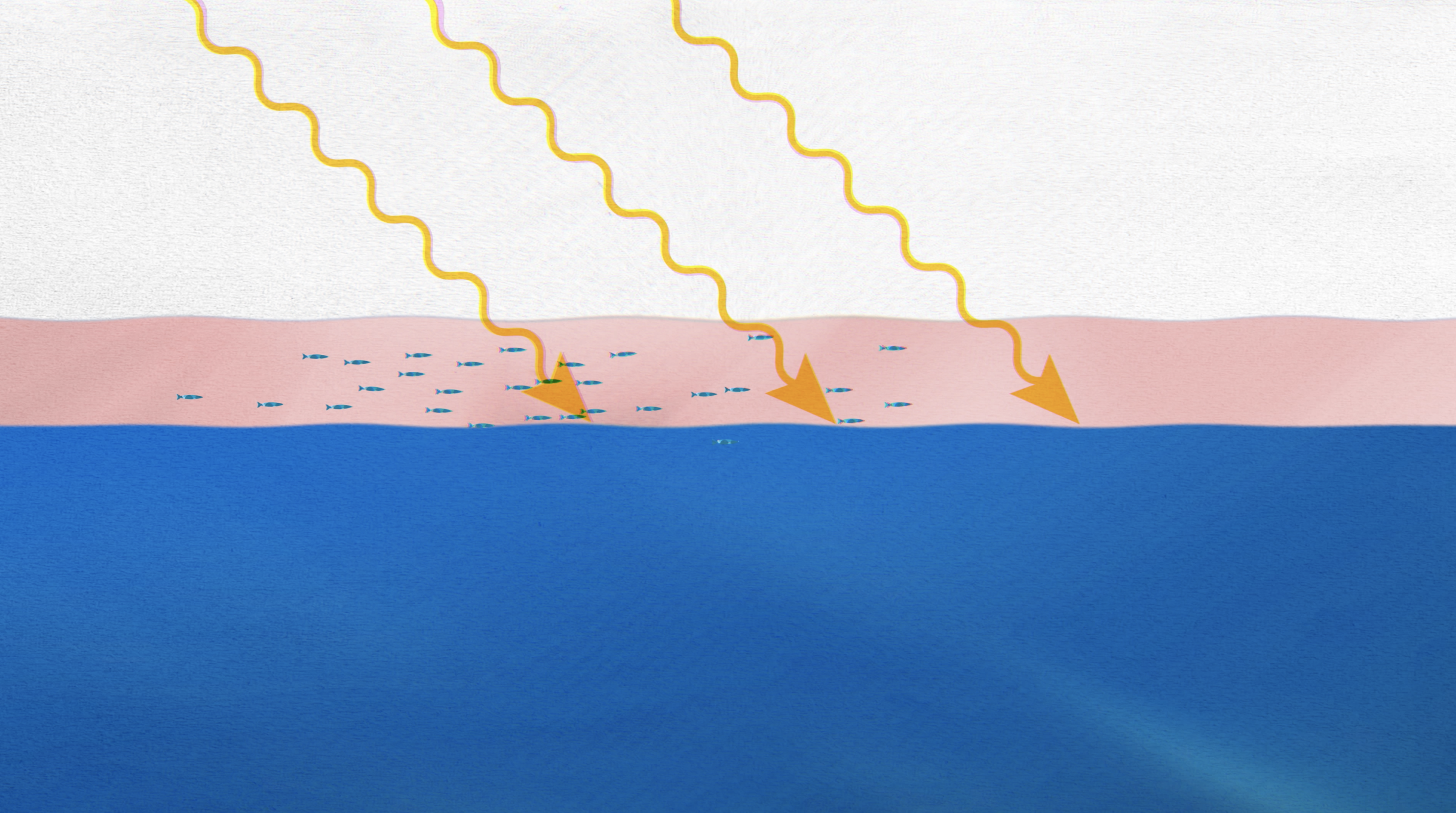


Co-author Associate Professor Alex Sen Gupta, also from UNSW, says the ocean can be thought of as two layers: an upper layer that’s directly affected by solar radiation, and the cooler deep ocean.
He says the thickness of the layer in summer is set by the winds that churn up the surface waters and mix heat throughout it.
With more exposure to the Sun during spring and summer, the upper ocean gradually warms.
A/Prof. Sen Gupta says the rate of warming depends on the thickness of the ocean’s upper layer.
“A thin layer will warm faster, much in the same way that a pan of water on a stove with less water will warm faster than a pan with more,” he says.
In June and July of 2023, the North Atlantic winds were weaker than ever recorded, “so the upper layer of the ocean was thinner than ever recorded,” A/Prof. Sen Gupta says.
In some areas it was only 10 metres deep, compared to the usual 20–40 metres deep, according to calculations made by co-author Dr Zhi Li, also from UNSW, who led the analyses of ocean observations for the study.
“This meant that the Sun heated the ocean’s surface more rapidly than normal, which is what led to those record-breaking temperatures,” says Dr Li.
He says this temporary thinning caused by weaker-than average winds was also bolstered by global warming. Long-term warming causes the surface ocean to become less dense, suppressing the ability of winds to mix the upper ocean.
“So we were also dealing with a long-term thinning of the upper layer,” Dr Li says.
"The upper layer of the ocean was thinner than ever recorded."

Associate Professor Alex Sen Gupta. Photo © Richard Freeman, UNSW Sydney
Associate Professor Alex Sen Gupta. Photo © Richard Freeman, UNSW Sydney


A sunburnt ocean
Prof. England says there was possibly also a further unexpected, localised factor that summer.
In 2020, new international rules were introduced to reduce the sulphur pollution emitted by ships. The aim was to improve air quality around the world’s major shipping lanes.
But clearer skies can have an unintended side effect: less aerosol pollution means fewer ‘seeds’ for clouds. Less cloud cover means more sunlight can reach the sea surface – especially in the North Atlantic, which is a high-traffic shipping area.
However, Prof. England says this effect was secondary, only contributing to localised regions of enhanced warming. Most of the blame, he says, still lay with the lack of wind.
“Reducing sulphate emissions is good for reducing air pollution,” he says. “Though it has the unfortunate effect of allowing additional warming of the ocean’s surface, because less sunlight is reflected back to space.”
The combination of weak winds with reduced mixed layer depths and clearer than average skies meant the rapid warming became a full-basin marine heatwave.
And as the warming waters radiated heat back into the atmosphere, this triggered a series of consequences on land.


Continental scale crises
While a quiet crisis was unfolding at sea, the air masses travelling over the top of the ocean were picking up heat to scorch cities across Europe.
Deadly 40+ degree Celsius heatwaves across Germany, France and Italy broke temperature records, while torrential rains devastated parts of Spain and Eastern Europe.

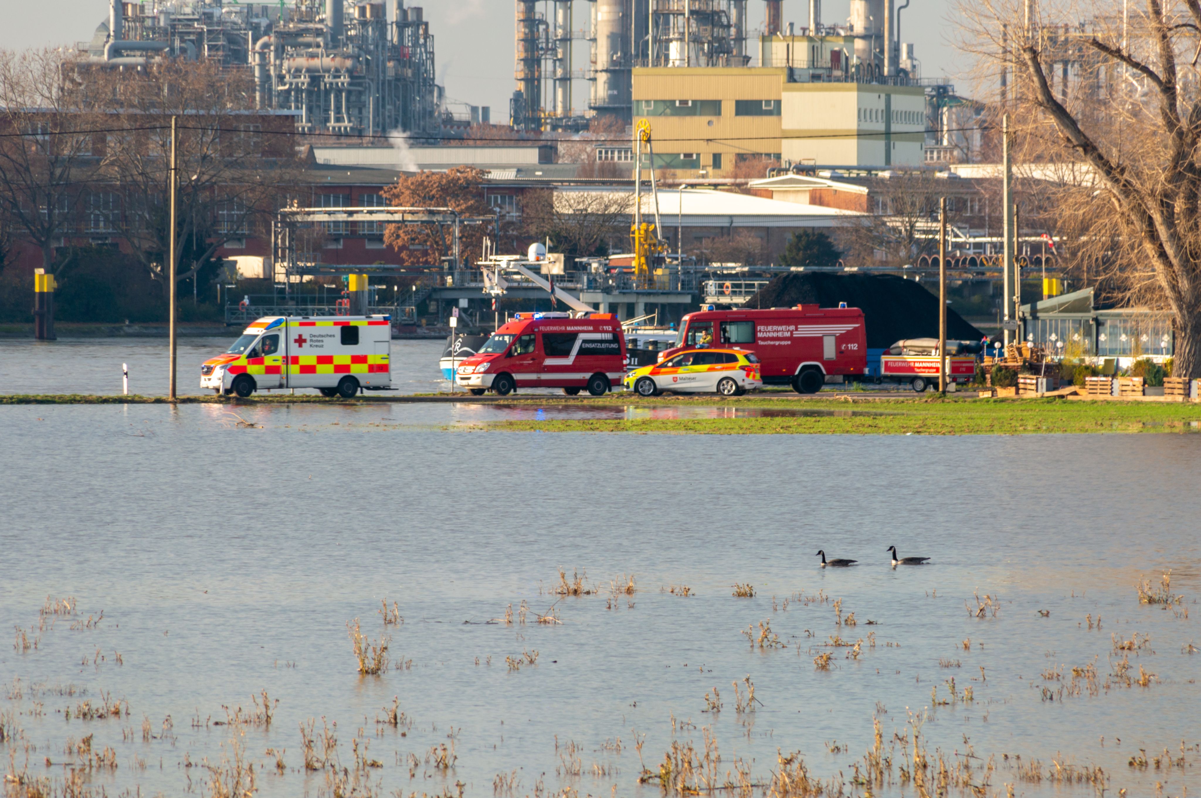
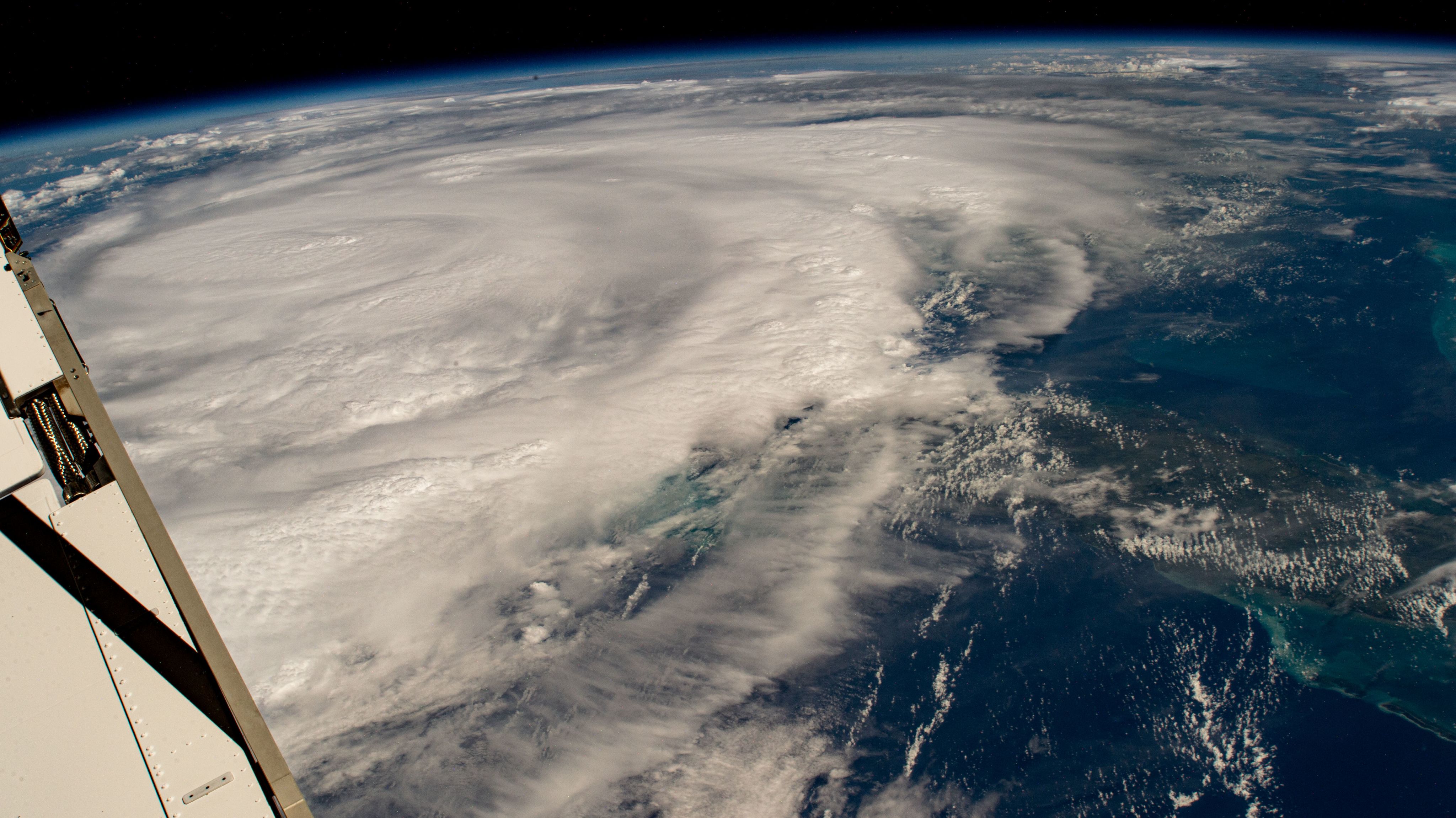
Back underwater, the coral reefs of the Caribbean were bleaching under severe heat stress. Hurricanes, which only occur during summer, fuelled by ocean heat, intensified into disasters. That season, Hurricane Idalia hit Florida – causing eight deaths and damages worth $3.6 billion USD.
“This wasn’t just a small area of warm water off one coast,” says Professor Stefan Rahmstorf from the Potsdam Institute for Climate Impact Research (PIK), another co-author of the study.
“This was the entire North Atlantic, with impacts on weather systems, human lives, marine ecosystems and society.”

"We even asked ourselves if this was the circulation making a temporary comeback, but the rate of warming was far too rapid for that."
Professor Matthew England


Preparing for the future
As climate change continues to thin the ocean’s surface mixed layer, heat from the Sun will continue to concentrate and warm it more readily.
Prof. England says this means marine heatwaves in the North Atlantic are only set to get worse in the future, with extremely costly consequences for ecosystems and society.
“Severe marine heatwaves often only last for a few weeks or months, but this one in the North Atlantic left a legacy that persisted for more than a year,” he says.
“Unfortunately, the frequency and intensity of marine heatwaves is only set to worsen in the coming decades and beyond.
"The only way to stop this trend is to phase out our use of fossil fuels.
"Net zero cannot come soon enough.”
Credits
Story: Melissa Lyne
Photos: Richard Freeman, NASA, Adobe Stock
Graphic illustration: Ralph Stevenson Video: Lee Henderson, Jake Willis, Marty Jamieson, Alexsandr Wynne, Richard Freeman, Ralph Stevenson
Media enquiries
Please contact Melissa Lyne, News & Content Co-ordinator, by phone on + 61 415 514 328 or email at m.lyne@unsw.edu.au